
Benbrook ZIP Code Directory Coverage
Four ZIP codes appear in authoritative Tarrant County and postal context for Benbrook: 76109, 76116, 76126, and 76132. They are delivery areas, not four separate municipal districts. Tarrant material can label the same ZIP for Benbrook and Fort Worth. That overlap matters when a record search uses a postal city or an older address label. For a specific number, the USPS address tools remain the final check for deliverable city, ZIP, and ZIP+4 information.
| ZIP code | Benbrook service context | Post-office label | Research caution |
|---|---|---|---|
| 76109 | Southwestern or adjacent Benbrook addresses may use it | Fort Worth / Trinity River | Overlaps Fort Worth, so verify the street number |
| 76116 | Western or nearby Benbrook delivery area | Fort Worth / Ridglea | Postal city and city limits can differ |
| 76126 | Primary Benbrook and City Hall mailing ZIP | Benbrook Post Office | Some nearby addresses can carry a Fort Worth label |
| 76132 | Northern, eastern, or adjacent service area | Fort Worth / Cityview | Not equivalent to a corporate boundary |
The Benbrook ZIP code directory describes delivery geography. It does not produce a complete resident roll, prove ownership, or establish which local government has jurisdiction over a parcel. Those questions need an address, an account number, or a legal description.
Benbrook ZIP Code Post Office
The USPS Benbrook Post Office listing identifies the facility at 9415 Highway 377 S, Benbrook, TX 76126-9998, with phone 817-249-7579. The published hours in the research were Monday through Friday 8:30 a.m. to 5 p.m. and Saturday 8:30 a.m. to 12 p.m. Because hours and available services can change, use the live USPS listing before visiting. USPS also points to alternate facilities in Fort Worth ZIP areas 76109, 76116, and 76132.
This USPS facility capture documents the local postal starting point for the Benbrook ZIP code directory.
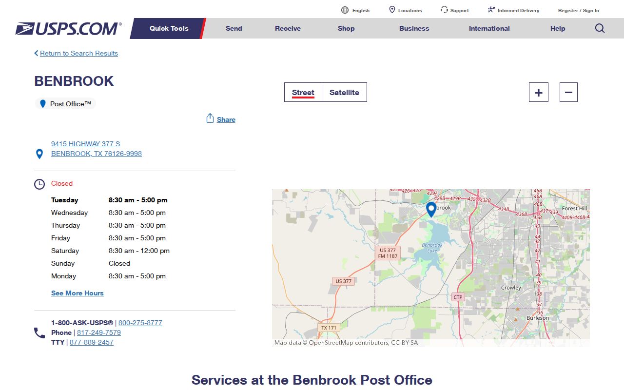
The facility listing is useful for postal validation and service questions. It is not proof that every 76126 address is inside Benbrook, and it should not replace an address-level USPS validation when a records request depends on the correct mailing format.
Benbrook ZIP Code Map Layers
Tarrant County's Comprehensive Address Information Directory, or CAID, searches by address, owner name, or tax account number. Its layers include ZIP Codes, City Boundaries, Voting Precinct Number, schools, school districts, flood contours, property, and other district geography. Use it after USPS confirms the address. CAID can show the ZIP polygon and the parcel in context, but the county describes the map as informational rather than a survey.
Begin with an address, turn on the ZIP and City Boundaries layers, then click the parcel and preserve its account or georeference. Those identifiers take the research to the Tarrant Appraisal District and County Clerk records. A ZIP alone cannot resolve a lot line, shared driveway, easement, or exact city jurisdiction.
Note: Map layers can appear or disappear at different zoom levels, so zoom closer before assuming a boundary is absent.
Benbrook ZIP Code Parcel Searches
After the postal address is confirmed, the property trail begins with the Tarrant Appraisal District. Its inspected result screen offers property type, an entry field, and result rows that can show account number, georeference, property address, property city, primary owner name, and market value. Expanded property cards may show current owner information, primary owner mailing address, legal description, subdivision, neighborhood code, instrument reference, and map or deed links. Search by address, owner, account, or georeference rather than assuming that the ZIP itself is a TAD search field.
The distinction is important in the Benbrook ZIP code directory. TAD's situs address identifies the parcel location. The primary owner address is a tax-mailing address, and it can be in Fort Worth, another city, or the name of a trust or business. An owner record does not prove who occupies a property. If the parcel is the right one, use its legal description, instrument, and recorded date to search the Tarrant County Official Records Search for a deed, plat, or other real-property instrument.
The online deed index offers Quick Search and Advanced Search with terms for grantor or grantee, subdivision, document type, document number, and recorded-date ranges. It also offers Index Only and Index & Full Text OCR scope. When a historic image is not online, the County Clerk route, Central Library, Fort Worth History Center, or Tarrant Archives may be the more useful next channel. The official portal does not state a historical online cutoff, so do not treat a ZIP-era online gap as proof that no older record exists.
For a Benbrook permit report, property-tax archive item, agenda, or other municipal record that does not surface online, use the City archive's keyword, category, time-period, and date-range search first. A focused request can then go to the City Secretary online, by email, fax, mail, or in person. Give the street address, record type, and a useful date range. This route is for a specific city record, not a ZIP-wide search for people.
Finding Residents by Benbrook ZIP Code
Use a ZIP as a filter for a known address or person, not as a promise of a ZIP-wide household list. The Texas My Voter Portal can narrow an individual search with name, county, date of birth, and ZIP. CAID can show a ZIP area and lead from a mapped parcel to an account. Tarrant Elections publishes county ZIP and precinct maps. TAD's inspected property search is based on owner, address, account, and georeference fields; a direct ZIP search field was not verified.
- Validate the full mailing address with USPS and record the ZIP or ZIP+4 supplied for that number.
- Use CAID's ZIP Codes layer to locate the area, then click the relevant parcel rather than treating the whole polygon as one result set.
- Open the TAD property card by address, owner, account, or georeference and compare situs, mailing address, and legal description.
- For a known voter, use the individual Tarrant or Texas portal with the authorized fields and respect protected records.
- Use the County Clerk deed index or a City request only after the parcel and legal description point to the needed record.
Once a ZIP search reaches a specific road, the Benbrook street directory provides the address-keyed route for parcels and recorded ownership. It is a different task from postal validation.
Benbrook ZIP Code Search Tools
The county's interactive maps page includes ZIP-code and precinct or district maps. It is a useful companion to CAID because it shows that precinct and election geography can cross a postal boundary. A precinct can also change while the parcel and ZIP do not, so date-stamped maps are helpful when comparing a historical record to a current one.
The Tarrant County ZIP-map capture shows the county resource that links the ZIP geography used for Benbrook research.
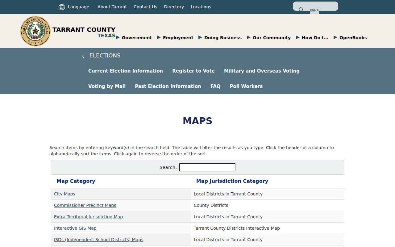
The map works best with a confirmed address and CAID parcel search. It cannot determine a resident's identity, give a complete list of occupants, or replace the official delivery address supplied by USPS.
| Tool | Search or layer | What it returns | Limit |
|---|---|---|---|
| USPS | Full address | Postal city, ZIP, ZIP+4, and delivery context | Delivery geography, not city limits |
| My Voter Portal | Name, county, date of birth, ZIP | Known voter status and VUID context | Individual search, with protected records |
| CAID | Address, owner, account, ZIP layer | Parcel and boundary context | Informational map, not a complete resident list |
| TAD | Owner, address, account, georeference | Property card, owner, mailing and situs fields | Direct ZIP filter was not verified |
Benbrook ZIP Code City Limits
A ZIP code does not decide whether a parcel is in Benbrook. The 2014 Benbrook and Fort Worth boundary adjustment changed city-limit and extraterritorial-jurisdiction acreage, but the research found no official Benbrook ZIP realignment date. A city label can therefore change in records without a move or deed transfer. Check the date, postal format, parcel location, legal description, and city-boundary layer before deciding that two address labels describe different places.
ZIPs also cross school districts, voting precincts, commissioner precincts, and flood layers. That is why CAID's City Boundaries, ZIP, school, voting, flood, and Property layers should be read together. A postal city is useful for delivery. It is not a legal boundary description.
Address check. When Benbrook and Fort Worth labels conflict, verify the street number with USPS and the parcel with CAID before requesting records.
Benbrook ZIP Code Address Keys
Several address terms appear in a Benbrook ZIP code directory workflow, and they answer different questions. Reconcile them through owner name, subdivision, lot and block, account number, and instrument number. A mismatch can be normal. For example, an owner can receive tax mail at a different address from the parcel's situs.
- ZIP and ZIP+4
- A ZIP identifies a delivery area. ZIP+4 adds a smaller delivery segment for a specific address or range.
- PO-box ZIP
- A ZIP used for post-office boxes, which does not identify the physical location of a parcel.
- Carrier route
- A postal delivery grouping used by the Postal Service, not a city district or ownership roll.
- Situs address
- The physical location of a property on an appraisal record, distinct from the owner's mailing address.
The County Clerk deed index relies on grantor, grantee, subdivision, document type, date, and legal description. City permits and code records are keyed to project or site address. Historic directories use the publication-time address and may list Benbrook under Fort Worth or Fort Worth Suburban. Do not expect every custodian to search by ZIP.
Benbrook ZIP Code Historical Limits
ZIP codes are weak tools for older research. Fort Worth Suburban directories cross-list Benbrook for irregular years from 1963 through 1993, and earlier material may use Fort Worth, a rural Tarrant County label, a subdivision, or landmarks near Mary's Creek, the railway, US 377, or Benbrook Lake. Census and directories predate modern postal labels in many cases. Search the street, lot and block, legal description, and neighboring names as well as the present ZIP.
The Benbrook and Fort Worth overlap is a records-geography issue, not a defect in one source. A well-supported result notes which date and address system it uses, then confirms it with the custodian that owns the actual record.